


Read More: 7 Ways Fleet Intelligence Can Improve Safety, Savings, and Service
Samsara, Esri Launch Integration to Enhance Public Sector Fleet Operations
This turnkey integration allows customers to leverage telematics data from Samsara within Esri’s software-as-a-service IoT application for processing, visualizing, and analyzing real-time data.
October 1, 2024

Integrating telematics insights from Samsara with Esri’s ArcGIS Velocity is designed to give organizations a more complete view of their fleet operations.
Photo: Government Fleet
2 min to read
Samsara announced a new integration with Esri to enhance fleet management and real-time reporting for government agencies.
Consolidated Insights to Elevate Citizen Services, Drive Operational Efficiency, and Keep Communities Safer
The turnkey integration allows customers to leverage telematics data from Samsara, including location, utilization, and maintenance, within Esri’s ArcGIS Velocity, a software-as-a-service IoT application for processing, visualizing, and analyzing real-time data.
Public sector fleets often struggle with siloed systems and manual reporting processes that are cumbersome and time-consuming. This can cause data quality issues across departments and hinder their ability to make accurate, timely decisions. Integrating telematics insights from Samsara with Esri’s ArcGIS Velocity is designed to give organizations a more complete view of their fleet operations to eliminate data silos, gain real-time visibility, and increase efficiency.
Consolidating Insights to Empower Users to Make faster, More Informed Decisions
Esri provides mapping and spatial analytics tools to enhance decision-making and operational excellence for organizations across industries, as well as federal, state, and local governments.
The combined capabilities of Samsara and Esri’s ArcGIS Velocity allow customers to ingest, analyze, and visualize real-time location and condition data, offering these advantages:
Enhanced Asset Recovery: Streamlined and efficient processes for geofencing, asset tracking, and recovery.
Optimized Emergency Response: Faster, more accurate response times to emergencies with GPS and location data integration.
Comprehensive Post-Event Reporting: Detailed reporting that supports transparency and accountability within government operations.
“Our partnership with Samsara allows ArcGIS users to combine critical IoT data points with their geospatial system of record for a more complete view of fleet operations and management,” said Thomas Fair, director of Esri Partner Network.
Samsara’s integration with Esri’s ArcGIS Velocity is now available globally to customers.
More Software
Samsara Introduces New Brand Identity
The company behind one of the fleet industry's largest connected operations platforms has unveiled a new look. The updated branding reflects Samsara's growing emphasis on AI-driven tools and digital fleet management.
Read More →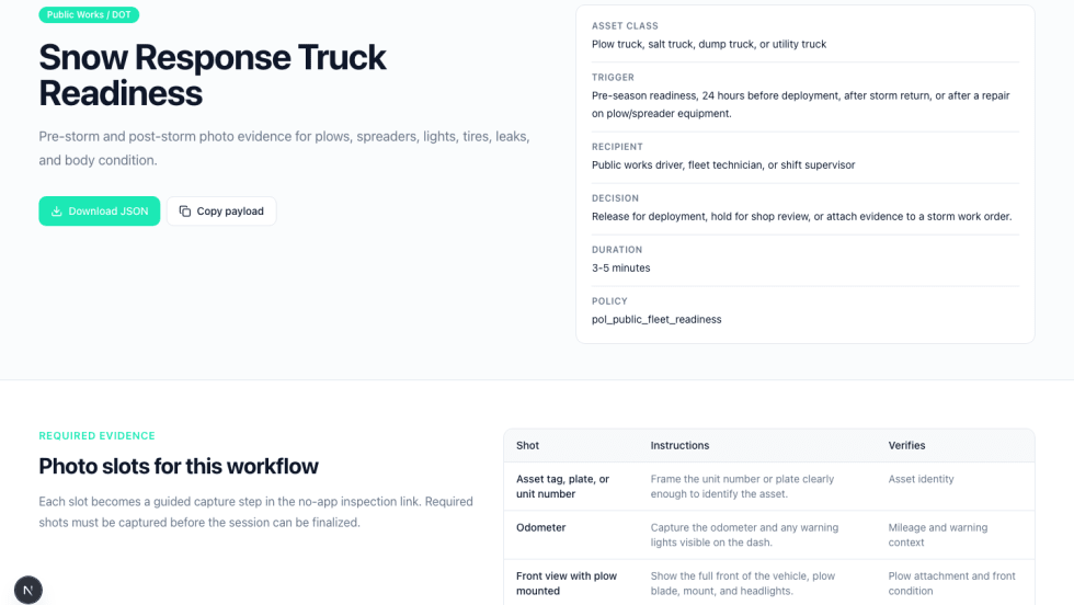
Switch Labs Launches VerifyAI Readiness Kit for Public Fleets
Fleet inspections often rely on paper forms, inconsistent documentation, or manual photo collection. A new toolkit from Switch Labs is designed to give public agencies a more structured way to verify vehicle readiness and track condition over time.
Read More →
Geotab Launches AI Connector for Fleets
New Geotab MCP Connector enables organizations to securely access live fleet data, automate workflows and take action from within the AI platforms they already use.
Read More →
Ford Adds AI Fleet Assistant to Ford Pro Telematics Platform
AI-driven insights allow fleet managers to query vehicle data, track performance trends, and identify maintenance needs across connected fleets.
Read More →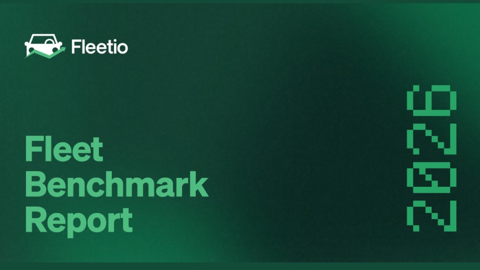
Report Finds 53.3% of Fleets Researching or Piloting AI Capabilities
New benchmark data highlights the cost pressures, maintenance delays, and workforce constraints shaping fleet operations in 2026.
Read More →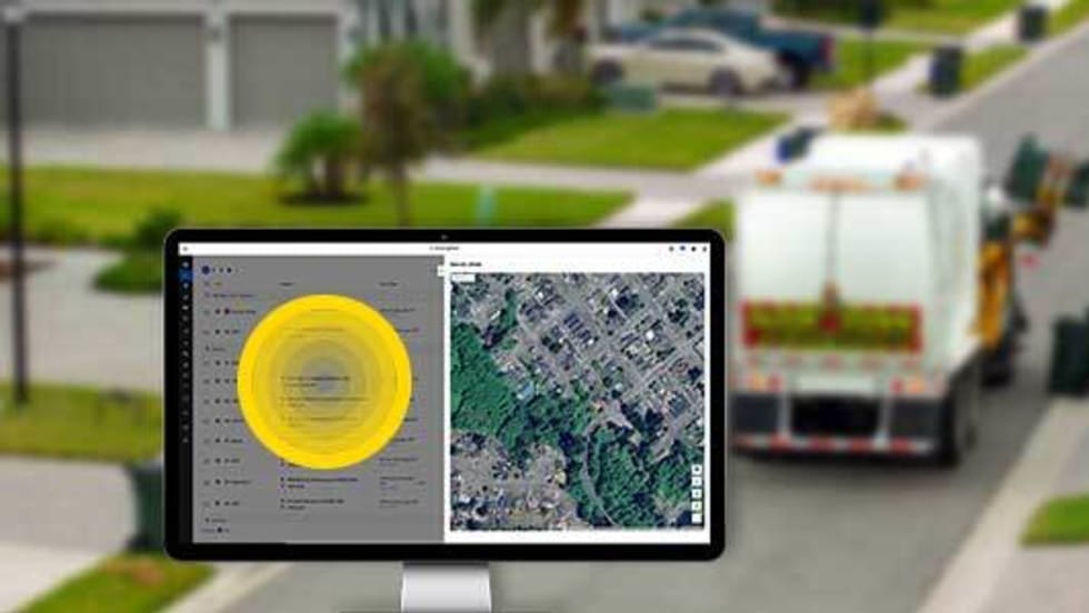
3 Ways Fleet Tech Builds Public Trust
Managing a state or local fleet comes with levels of accountability private companies don’t have. Read how modern fleet technology helps elevate visibility and safety to strengthen community trust.
Read More →
Geotab Expands Sourcewell Contract Adding Video Telematics, Asset Tracking, Data Analytics Solutions for Public Sector
Geotab has expanded its cooperative purchasing contracts with Sourcewell to include additional telematics and data solutions for public sector fleets.
Read More →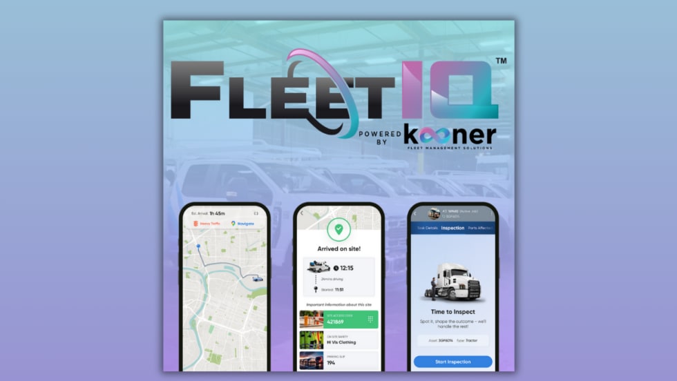
Kooner Fleet Management Launches FleetIQ, A Next-Generation Fleet Maintenance Tech Platform
Kooner Fleet Management Solutions has launched FleetIQ, a new platform that uses predictive analytics and automation to improve fleet uptime, streamline service operations, and support data-driven decision-making.
Read More →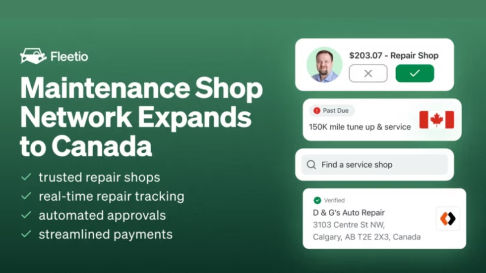
Streamlined Maintenance and Repair Options Now Available for Canadian Fleets
Fleetio expands its Maintenance Shop Network into Canada, giving fleets access to verified repair shops, real-time tracking, and automated approvals.
Read More →
From Disadvantaged to Data-Driven: Understanding AI and Its Role Within Small Government Fleets
Can artificial intelligence help smaller municipal fleets address the limitations of traditional total cost of ownership methods?
Read More →