

Mooresville Police Department Launches Drone First Responder Program
The Mooresville Police Department has launched a Drone First Responder program, using drones to provide real-time aerial support and faster situational awareness during emergency calls.

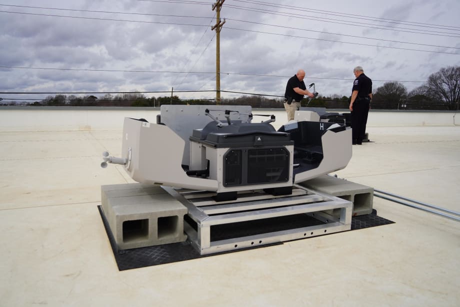
Officers prepare a Drone First Responder unit at a rooftop station, supporting faster response times and real-time incident visibility.
Town of Mooresville
- The Mooresville Police Department has initiated a Drone First Responder program.
- The program utilizes drones to deliver real-time aerial support during emergencies.
- This initiative aims to enhance situational awareness and response times.
*Summarized by AI
The Mooresville Police Department (MPD) has launched a Drone First Responder (DFR) program aimed at improving response times and enhancing situational awareness during emergency calls.
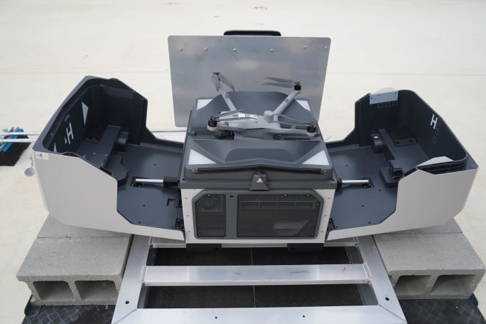
The program includes six drones — three stationed at MPD headquarters and three at One Mooresville Center — capable of responding within a 3.5-mile radius at speeds up to 55 mph. The drones provide aerial coverage and information before officers and first responders arrive on scene.
A trained operator based at MPD headquarters deploys and pilots the drones when appropriate based on 911 call information. The operator communicates with responding officers to provide real-time updates.
“This technology allows us to be more informed situationally, so our responses can be precise and efficient,” said Chief Ron Campurciani.
Technology Integration and Transparency
The DFR program is the first of its kind in Iredell County and integrates with the department’s Computer-Aided Dispatch (CAD) system, which manages 911 calls and coordinates response efforts. The drones use GPS coordinates from CAD data to navigate to incident locations.
The system also uses radar to detect and avoid other aircraft during flight.
Mooresville Police deploys a drone from its rooftop launch system as part of a new first responder program designed to speed emergency response.
Town of Mooresville
MPD said the program supports a range of public safety applications, including responding to high-risk incidents, locating missing persons and suspects, and assisting with traffic and crime scene documentation.
To support transparency, the department has launched the Mooresville Flight Dashboard, a public portal that tracks drone activity. The dashboard provides data on calls, response times, and types of incidents, along with visual flight paths for each deployment.
Quick Answers
The purpose of the Drone First Responder program is to provide real-time aerial support and faster situational awareness during emergency calls.
*Summarized by AI
More Police

Why Public Fleet Success Depends on More Than the Vehicles
Tim Coxwell of the Leon County Sheriff’s Office discusses the projects shaping his fleet operation, including long-term work around vehicle selection, greenhouse gas emissions, and cost per mile.
Read More →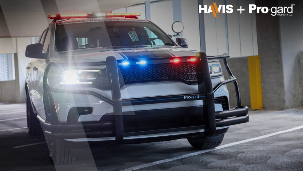
Havis Acquires Pro-gard Products
The acquisition brings together two manufacturers of public safety vehicle equipment under one company. Havis says the move expands its portfolio of products for outfitting law enforcement vehicles and other public safety fleets.
Read More →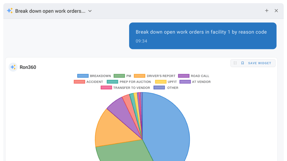
RTA Fleet Introduces AI Assistant for Fleet360 Platform
As artificial intelligence continues to gain traction across public-sector operations, fleet software providers are finding new ways to incorporate the technology into everyday workflows. RTA's latest addition aims to simplify how users interact with fleet data.
Read More →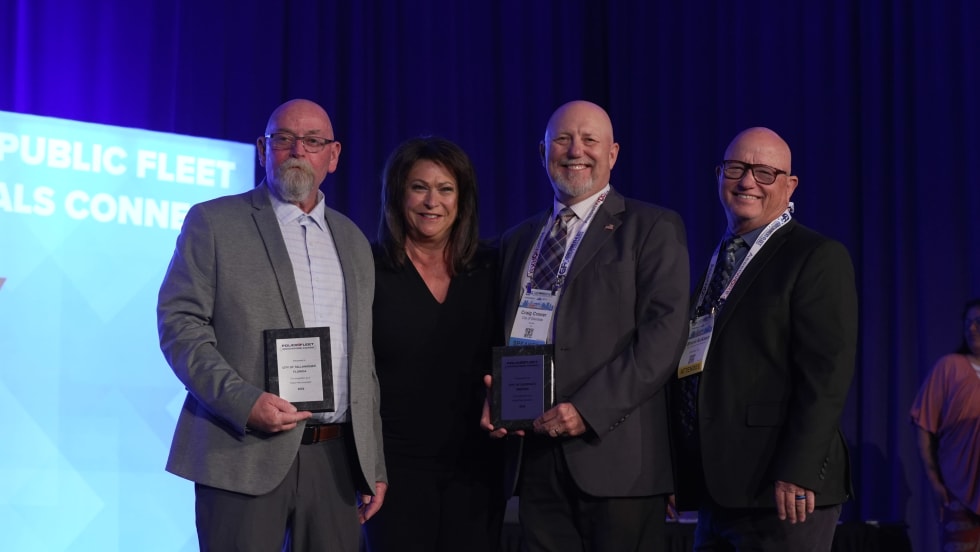
2026 Police Fleet Innovators Named
Meet the professionals finding new ways to solve some of law enforcement's toughest fleet challenges.
Read More →
Rynse Expands Nationwide Fleet Wash Access for Law Enforcement
The North Carolina Sheriff’s Association Contract Cooperative purchasing contract aims to streamline procurement process for law enforcement agencies across the U.S.
Read More →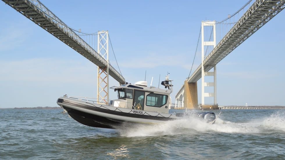
Maryland Natural Resources Police Adds 31-Foot Patrol Boat to Enforcement Fleet
A new addition to Maryland’s marine enforcement fleet is bringing expanded capabilities to Chesapeake Bay operations while honoring a legacy within the agency. The high-performance patrol vessel reflects how law enforcement fleets are adapting to growing demands on the water.
Read More →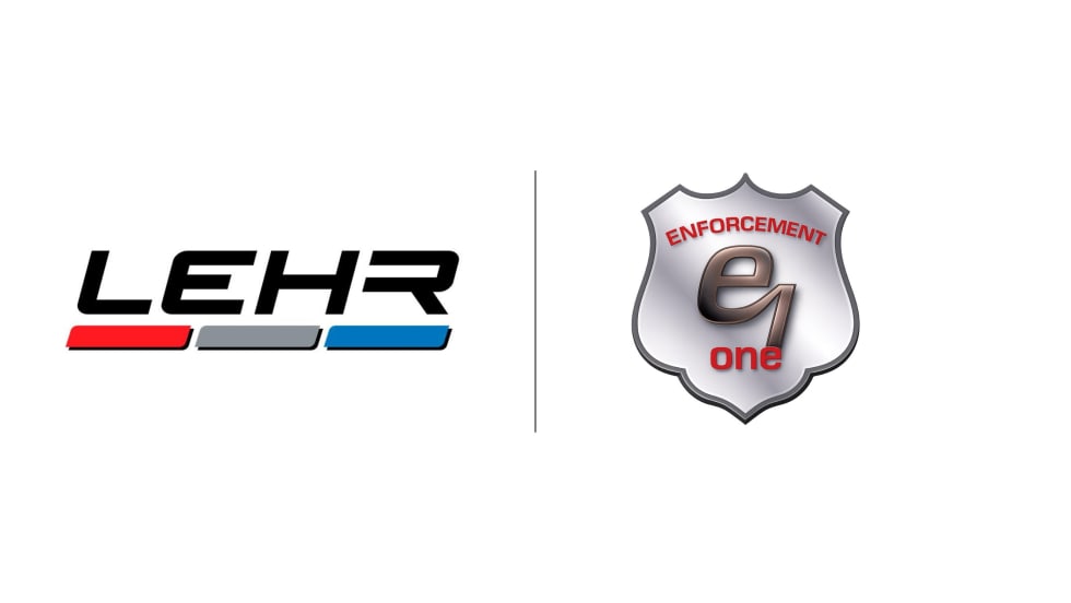
LEHR Expands Florida Presence With Enforcement One Acquisition
LEHR has acquired Florida-based emergency vehicle upfitter Enforcement One, marking its eighth add-on acquisition.
Read More →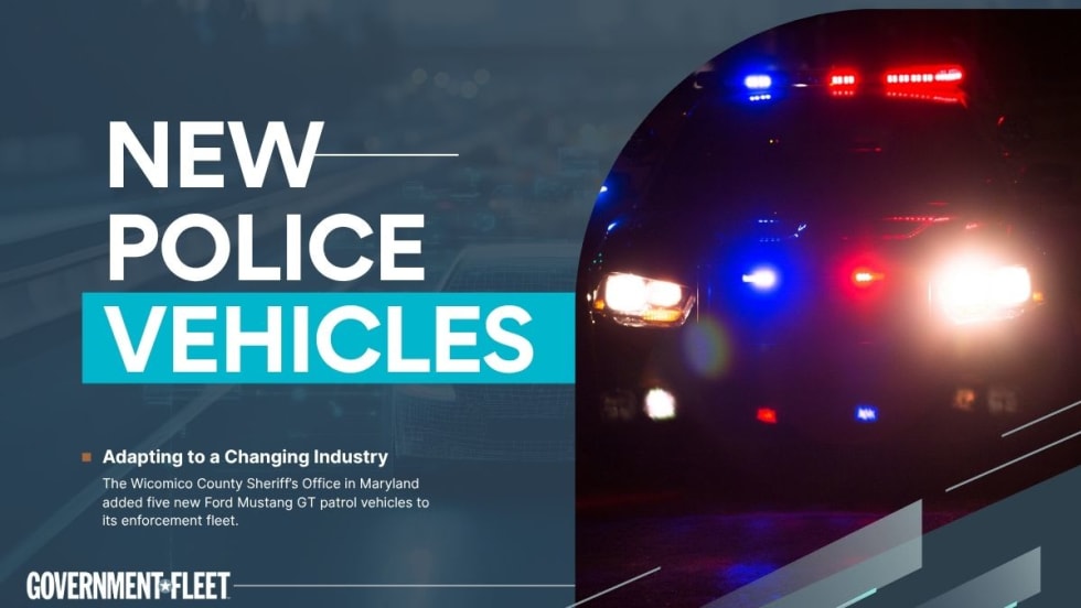
Maryland’s Wicomico County Sheriff Adds Mustang GT Patrol Vehicles
The agency is also working with the Maryland Police Training Commission on a specialized high-performance driving course for deputies assigned to the vehicles.
Read More →
NYC Surpasses 1,000 EVs in Police Fleet
New York City now has the largest EV law enforcement fleet in North America, according to the city.
Read More →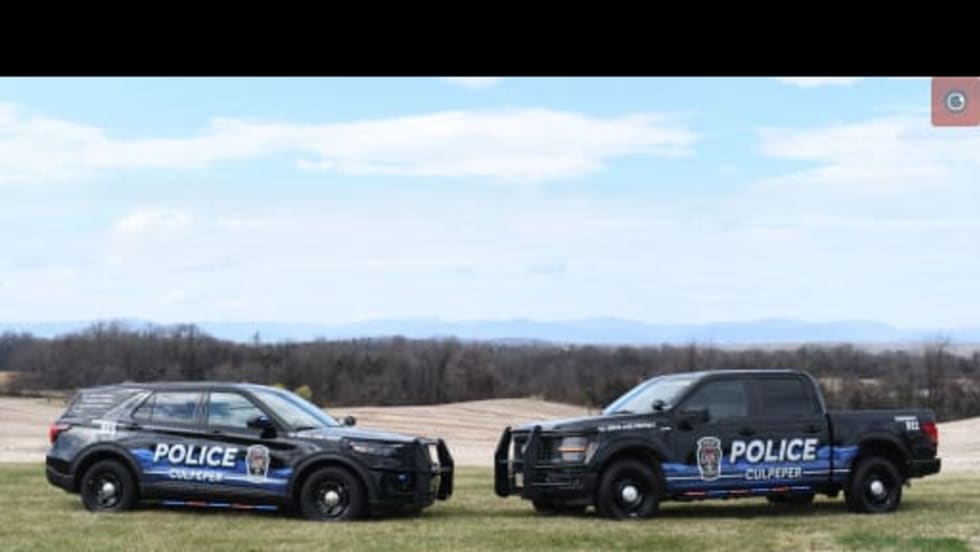
Culpeper Police Begin Rollout of New Patrol Car Fleet Design
The Culpeper Police Department has unveiled a new fleet design inspired by the Blue Ridge Mountains, selected through a department-wide process involving both sworn and civilian staff.
Read More →