


Zonar and Esri Integration Provides Real-Time GIS Mapping of Fleet Data
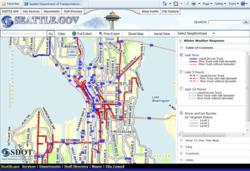
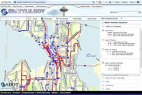
SEATTLE, WA - A new integration between fleet telematics provider, Zonar and geographic information system (GIS) provider, Esri delivers real-time fleet data layered with sophisticated geographic map information.
SEATTLE, WA - A new integration between fleet telematics provider, Zonar and geographic information system (GIS) provider, Esri delivers real-time fleet data layered with sophisticated geographic map information.
The resulting system helps companies determine capacity enhancements, improve fuel efficiency, optimize routes and share interactive transportation maps on the web.
Early adopters of this technology use the integration to:
Determine fuel efficiency rates of specific routes with elevation information in addition to longitude, latitude, speed, odometer and fuel usage data.
Track vehicle location and diagnostic data in real-time on a map containing company facility and asset locations, preferred fuel stops, maintenance and service locations, or customer delivery points.
Provide advanced operational awareness via the integration of real-time vehicle locations with traffic, weather, work orders, and any company-maintained GIS data.
Publish web-based maps displaying real-time locations or recent activity of snowplows and whether the vehicle is actively plowing, de-icing or spreading salt.
“Esri is a perfect complement for Zonar fleet data,” said Mike McQuade, Chief Technical Officer at Zonar. “Zonar tracks longitude, latitude, odometer, speed and fuel, in addition to vehicle diagnostics in our core platform. Esri allows display of fleet locations and other data specific to their operation integrated through Esri’s mapping technology.
“Our customers asked for the ability to easily integrate fleet data into their own GIS” said Wolfgang Hall, Business Development Manager for Tracking Solutions at Esri. “It is very exciting that we can now help our users by merging the two technologies. The ability to display and store Zonar’s detailed GPS location data inside GIS allows our users to leverage advanced spatial analysis and to publish the combined data to mobile units and the Web.
“Fuel efficiency is extremely important to our customers and the Zonar and Esri integration provides additional data sets including elevation to the fuel capture data Zonar provides,” adds McQuade. “In addition, private and public fleets are improving customer service by sharing interactive location maps and expected arrival information to customers over the Internet and mobile devices.”
More Telematics
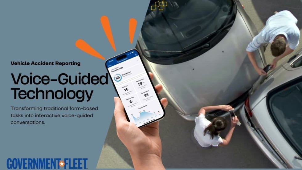
How Conversational AI Can Simplify Driver Workflows
Voice-guided technology is helping drivers complete vehicle inspections, accident reporting, and motor pool checkouts through conversations instead of forms.
Read More →
Connecticut Renews Fleet Telematics Agreement, Adds Automation Tools
Connecticut is expanding the use of automation within its fleet operations as part of a renewed telematics agreement. The new tools are designed to reduce manual reporting, streamline compliance tasks, and support management of the state's more than 3,600 vehicles.
Read More →
Tennessee DOT Selects Geotab as Fleet Telematics Provider
As state transportation agencies continue to expand their use of connected vehicle technologies, the Tennessee Department of Transportation is moving forward with a new telematics deployment. The initiative is expected to provide greater insight into fleet activity, asset utilization, and maintenance operations.
Read More →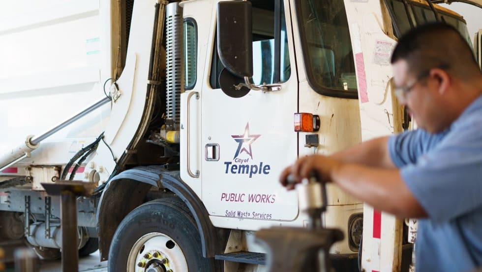
City of Temple Enhances Fleet Operations with New Telematics Technology
The City of Temple is deploying a new Geotab telematics system across multiple municipal departments to improve fleet maintenance, safety monitoring and operational efficiency.
Read More →
3 Ways Fleet Tech Builds Public Trust
Managing a state or local fleet comes with levels of accountability private companies don’t have. Read how modern fleet technology helps elevate visibility and safety to strengthen community trust.
Read More →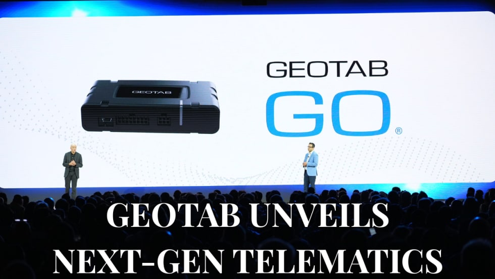
Geotab Launches Next-Gen GO Devices to Strengthen Oversight and Data Security
Next-generation telematics platform promises stronger diagnostics, asset tracking, and actionable insights.
Read More →
Ford Pro Telematics Introduces In-App Asset Tracking
Ford Pro Telematics expands its abilities.
Read More →
Distracted Driving and Samsara AI Safety
The U.S. public sector continues to use AI technology to combat the dangers of distracted driving.
Read More →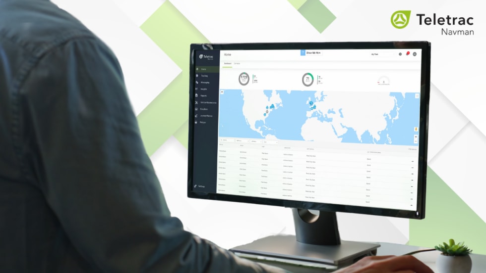
Teletrac Navman’s TN360 Now Connects with Factory-Fitted Telematics for Easier Fleet Oversight
Agencies can now tap into factory-installed vehicle data within TN360 without taking vehicles out of service for hardware installs.
Read More →
Element, Samsara Partner to Launch Comprehensive Fleet and Operations Management Offering
This joint offering streamlines procurement and onboarding for shared customers to deliver greater safety and efficiency for fleets.
Read More →