

Turlock Irrigation District Using GPS to Improve Safety and Boost Productivity
TURLOCK, CA - The district is using Trimble’s GeoManager system to monitor vehicles, and has seen improvements in productivity and safety, and a reduction in fuel use.
TURLOCK, CA – Turlock Irrigation District has been using GPS in its entire fleet of 300 vehicles for more than a year now. Government Fleet interviewed the district’s Operations Manager Jason Hicks regarding how this program is reducing costs and improving safety. The district is using Trimble’s GeoManager system to monitor vehicles, and has seen improvements in productivity and safety, and a reduction in fuel use, according to Hicks.
“When we first rolled GeoManager out in 2004, it was just in field trucks,” Hicks said. “Last year we rolled it out on the entire fleet, which is around 300 vehicles. This includes motor-pool vehicles, the ones that go to the airport, meetings, etc. Management uses it as a resource tool to monitor and minimize non-official or personal use. Meter reader management also uses it to improve efficiency and restructure routing to give better service.”
Hicks said Turlock’s irrigation district provides services to nearly 5,000 customers and covers 150,000 acres. Due to the size of the area, the GPS and related online fleet management platform helps the irrigation district manage driver safety, customer service, office administration, fuel consumption, and overall fleet efficiency.
In terms of how it helps drivers, the biggest challenge drivers face on a daily basis is navigating the large, backcountry territory the district oversees, and the system helps the district’s drivers figure out where they are and where they need to be.
“Our drivers were in very unfamiliar territory in the backcountry and our concern was not being able to locate a driver,” Hicks said. “These are dirt roads in the middle of irrigation fields and substations. If the vehicles have a problem, we can give it to the mechanics and they can find the broken down truck easily. We always know we can find them.”
How does the district use this system in these areas? Hicks said the district is divided into 15 groups, and each group uses it differently.
“Since the technology has multiples uses, the different groups can perform different tasks on the platform but may have limited access to what they can see at a given time,” Hicks said. “For example, managers in charge of staff resources use the technology to ensure that field workers are in the right location at the right time. District employees responsible for reading meters use GeoManager’s mapping capability to review routes and to ensure that no routes overlap. The mapping also helps to avoid driving longer routes than necessary. Employees responsible for managing the district’s electric grid use the technology to locate the vehicles nearest to a customer service call.”
One added benefit to using GPS technology includes tracking stolen vehicles. “We’ve had three trucks taken in five years and as long as the GPS is connected we can locate the vehicle, often within hours of when it was taken,” Hicks said. “We can tell where the vehicle has stopped, so if a generator or other equipment is unloaded we can find it.”
The district’s drivers have also come to appreciate the system, although Hicks said they were skeptical at first.
“At first drivers were resistant but now they appreciate the increased efficiency and safety,” Hicks said. “We have a power control center which documents when the truck arrives on the site and when it leaves so the dispatcher knows who to send if there is an emergency.”
The system has also been used to verify, and debunk, complaints about the district’s vehicles.
“One customer called and said our vehicles were driving too fast,” Hicks said. “GPS showed that that wasn’t the case. We set up landmarks to measure our trucks. The fastest was 22 mph in a 35 mph zone. Fleet Management allows us to provide customers with valid information when there are complaints or concerns.”
By Greg Basich
More Telematics

Connecticut Renews Fleet Telematics Agreement, Adds Automation Tools
Connecticut is expanding the use of automation within its fleet operations as part of a renewed telematics agreement. The new tools are designed to reduce manual reporting, streamline compliance tasks, and support management of the state's more than 3,600 vehicles.
Read More →
Tennessee DOT Selects Geotab as Fleet Telematics Provider
As state transportation agencies continue to expand their use of connected vehicle technologies, the Tennessee Department of Transportation is moving forward with a new telematics deployment. The initiative is expected to provide greater insight into fleet activity, asset utilization, and maintenance operations.
Read More →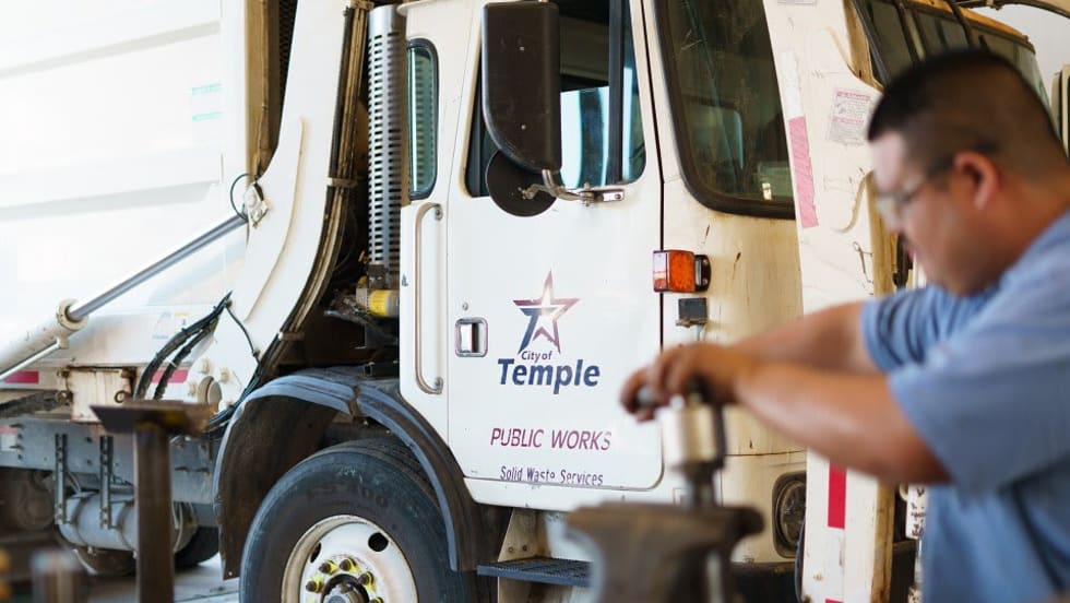
City of Temple Enhances Fleet Operations with New Telematics Technology
The City of Temple is deploying a new Geotab telematics system across multiple municipal departments to improve fleet maintenance, safety monitoring and operational efficiency.
Read More →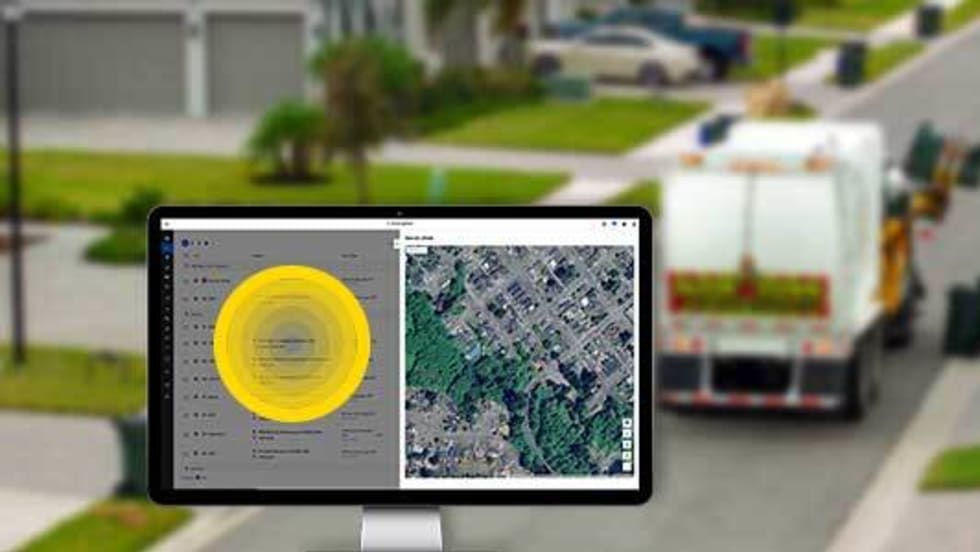
3 Ways Fleet Tech Builds Public Trust
Managing a state or local fleet comes with levels of accountability private companies don’t have. Read how modern fleet technology helps elevate visibility and safety to strengthen community trust.
Read More →
Geotab Launches Next-Gen GO Devices to Strengthen Oversight and Data Security
Next-generation telematics platform promises stronger diagnostics, asset tracking, and actionable insights.
Read More →Ford Pro Telematics Introduces In-App Asset Tracking
Ford Pro Telematics expands its abilities.
Read More →
Distracted Driving and Samsara AI Safety
The U.S. public sector continues to use AI technology to combat the dangers of distracted driving.
Read More →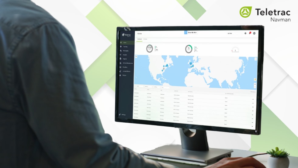
Teletrac Navman’s TN360 Now Connects with Factory-Fitted Telematics for Easier Fleet Oversight
Agencies can now tap into factory-installed vehicle data within TN360 without taking vehicles out of service for hardware installs.
Read More →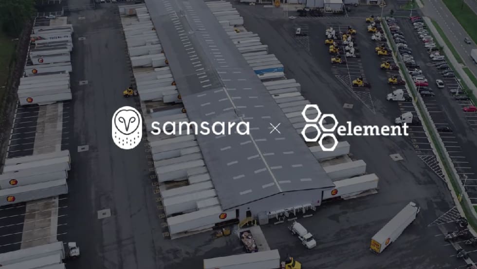
Element, Samsara Partner to Launch Comprehensive Fleet and Operations Management Offering
This joint offering streamlines procurement and onboarding for shared customers to deliver greater safety and efficiency for fleets.
Read More →
7 Ways Fleet Intelligence Can Improve Safety, Savings, and Service
Fleet intelligence technology delivers actionable insights to optimize multiple aspects of government fleet safety and service.
Read More →