

U.S. Postal Service Adds Digital Mapping Capabilities to Operations
CHICAGO - The United States Postal Service has selected NAVTEQ map data for use within the geospatial component of its eFMS (Electronic Facilities Management System) application.
CHICAGO - The United States Postal Service (USPS) has selected NAVTEQ map data for use within the geospatial component of its eFMS (Electronic Facilities Management System) application.
The eFMS uses spatial analysis tools to support a number of critical USPS initiatives, including efficiently using the space within USPS' more than 35,000 facilities nationwide and building spatial tools to help manage leases on over 25,000 facilities. NAVTEQ map data is used in the eFMS to assess the impact of delivery zone adjustments and reduce costs as facilities are reconfigured, according to the company.
Johnston McLamb, an IT consulting firm specializing in visualization and geospatial business intelligence, originally developed the eFMS application and has worked closely with USPS for several years to support and enhance the system, including developing spatial analysis tools that use NAVTEQ map data.
NAVTEQ map data includes geospatial information such as roads, cities, political boundaries, physical features, places, railroads, census boundaries, parks, schools, fire departments, police departments, and hospitals, and many other geospatial vector data layers for the USPS geospatial program.
More Telematics

Connecticut Renews Fleet Telematics Agreement, Adds Automation Tools
Connecticut is expanding the use of automation within its fleet operations as part of a renewed telematics agreement. The new tools are designed to reduce manual reporting, streamline compliance tasks, and support management of the state's more than 3,600 vehicles.
Read More →
Tennessee DOT Selects Geotab as Fleet Telematics Provider
As state transportation agencies continue to expand their use of connected vehicle technologies, the Tennessee Department of Transportation is moving forward with a new telematics deployment. The initiative is expected to provide greater insight into fleet activity, asset utilization, and maintenance operations.
Read More →
City of Temple Enhances Fleet Operations with New Telematics Technology
The City of Temple is deploying a new Geotab telematics system across multiple municipal departments to improve fleet maintenance, safety monitoring and operational efficiency.
Read More →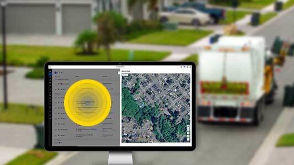
3 Ways Fleet Tech Builds Public Trust
Managing a state or local fleet comes with levels of accountability private companies don’t have. Read how modern fleet technology helps elevate visibility and safety to strengthen community trust.
Read More →
Geotab Launches Next-Gen GO Devices to Strengthen Oversight and Data Security
Next-generation telematics platform promises stronger diagnostics, asset tracking, and actionable insights.
Read More →Ford Pro Telematics Introduces In-App Asset Tracking
Ford Pro Telematics expands its abilities.
Read More →
Distracted Driving and Samsara AI Safety
The U.S. public sector continues to use AI technology to combat the dangers of distracted driving.
Read More →
Teletrac Navman’s TN360 Now Connects with Factory-Fitted Telematics for Easier Fleet Oversight
Agencies can now tap into factory-installed vehicle data within TN360 without taking vehicles out of service for hardware installs.
Read More →
Element, Samsara Partner to Launch Comprehensive Fleet and Operations Management Offering
This joint offering streamlines procurement and onboarding for shared customers to deliver greater safety and efficiency for fleets.
Read More →
7 Ways Fleet Intelligence Can Improve Safety, Savings, and Service
Fleet intelligence technology delivers actionable insights to optimize multiple aspects of government fleet safety and service.
Read More →