

Telogis Launches Telogis Layers to Provide Simple GIS Overlay Data
ALISO VIEJO, CA - Telogis Inc., provider of the unified platform for location intelligence, has launched Telogis Layers, allowing organizations to quickly and easily integrate any custom GIS data into their existing Telogis solutions.

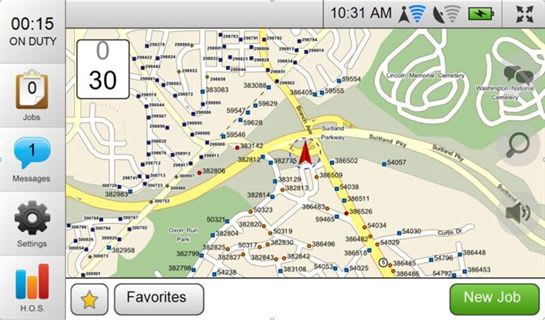
Telogis Mobile with Telogis Layers GIS Data Overlay Technology map utility poles.
ALISO VIEJO, CA - Telogis Inc., provider of the unified platform for location intelligence, has launched Telogis Layers, allowing organizations to quickly and easily integrate any custom GIS data into their existing Telogis solutions.
Telogis Layers is designed for organizations such as utility and telecommunications companies, whose field workers often need to navigate to specific points within the organization's infrastructure, rather than a physical address. The technology, based on the company's Telogis GeoBase geospatial mapping platform, enables the search and display of custom data sets in a variety of deployment scenarios and application architectures.
Telogis Layers contains a range of features to make it straightforward to develop and use the maps, including customizable labels and symbols for each feature and layers that can be themed via any attribute. Data points in Telogis Layers are easily configured and tailored through the solution's wizard-driven import process and GUI-based style editor.
Data layers are stored within the Telogis Cloud, allowing them to be accessed via Telogis Fleet or Telogis Mobile. Telogis Layers enables end-users to route to relevant locations such as power poles, oil wells, gas and water lines, land use grids, and forestry and parcel data. Users can tab between different layers, providing them with clear and accurate details.
"The launch of Telogis Layers allows companies needing accurate and highly customizable GIS information to incorporate, categorize and label a variety of data sets in a very straightforward manner," said Newth Morris, president of Telogis' GeoBase Division. "The addition of Telogis Layers makes our SaaS-based mapping platform even more user-friendly, as it enables users to view any GIS data across multiple Telogis platforms."
"Telogis Layers makes it significantly quicker for us to rapidly deploy highly customized GIS systems for our clients," said Bill Ballard, president of Location Age, a geographic information and technology company headquartered in Silver Spring, Md. "Location Age manages complex systems integration projects for a wide range of organizations. The solution we chose needed to be able to handle the individual needs of our clients without the need for us to reinvent the wheel each time. Telogis Layers enables us to implement a high-quality solution while remaining competitive in the market."
Telogis Layers is available as an additional module for the Telogis Fleet platform. For pricing details, please contact Telogis' sales team at info@telogis.com or 866-TELOGIS (866-835-6447)
About Telogis
Telogis Inc., the platform for location intelligence, is dedicated to enhancing the value of our customers' businesses through intelligent integration of location technology, information and services. Telogis was established in 2001 and is headquartered in Aliso Viejo, Calif., with offices in Europe and Latin America as well as development centers Austin, Texas and in Christchurch, New Zealand. Telogis' products and services are used and distributed in more than 60 countries worldwide. To learn more about Telogis, visit www.telogis.com or call toll free at 866-TELOGIS (866-835-6447).
More Telematics

Connecticut Renews Fleet Telematics Agreement, Adds Automation Tools
Connecticut is expanding the use of automation within its fleet operations as part of a renewed telematics agreement. The new tools are designed to reduce manual reporting, streamline compliance tasks, and support management of the state's more than 3,600 vehicles.
Read More →
Tennessee DOT Selects Geotab as Fleet Telematics Provider
As state transportation agencies continue to expand their use of connected vehicle technologies, the Tennessee Department of Transportation is moving forward with a new telematics deployment. The initiative is expected to provide greater insight into fleet activity, asset utilization, and maintenance operations.
Read More →
City of Temple Enhances Fleet Operations with New Telematics Technology
The City of Temple is deploying a new Geotab telematics system across multiple municipal departments to improve fleet maintenance, safety monitoring and operational efficiency.
Read More →
3 Ways Fleet Tech Builds Public Trust
Managing a state or local fleet comes with levels of accountability private companies don’t have. Read how modern fleet technology helps elevate visibility and safety to strengthen community trust.
Read More →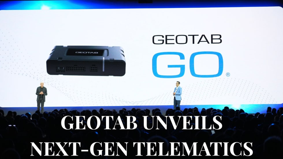
Geotab Launches Next-Gen GO Devices to Strengthen Oversight and Data Security
Next-generation telematics platform promises stronger diagnostics, asset tracking, and actionable insights.
Read More →Ford Pro Telematics Introduces In-App Asset Tracking
Ford Pro Telematics expands its abilities.
Read More →
Distracted Driving and Samsara AI Safety
The U.S. public sector continues to use AI technology to combat the dangers of distracted driving.
Read More →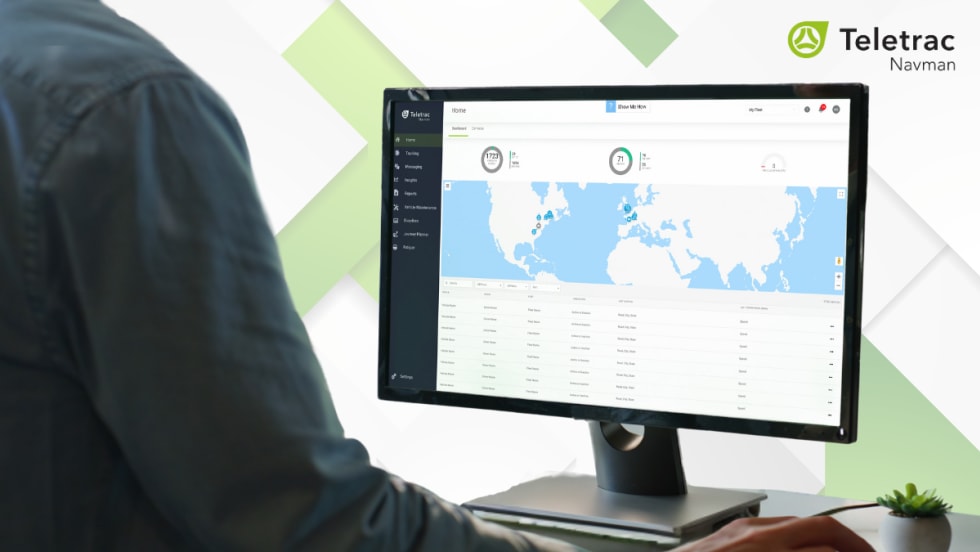
Teletrac Navman’s TN360 Now Connects with Factory-Fitted Telematics for Easier Fleet Oversight
Agencies can now tap into factory-installed vehicle data within TN360 without taking vehicles out of service for hardware installs.
Read More →
Element, Samsara Partner to Launch Comprehensive Fleet and Operations Management Offering
This joint offering streamlines procurement and onboarding for shared customers to deliver greater safety and efficiency for fleets.
Read More →
7 Ways Fleet Intelligence Can Improve Safety, Savings, and Service
Fleet intelligence technology delivers actionable insights to optimize multiple aspects of government fleet safety and service.
Read More →