

Telogis Delivers New Advanced Driver Assistance Systems (ADAS) Capabilities with Telogis GeoBase Platform
ALISO VIEJO, CA - Telogis Inc., the platform for location intelligence, has integrated Advanced Driver Assistance Systems (ADAS) data from NAVTEQ into its Telogis GeoBase geospatial platform.
ALISO VIEJO, CA - Telogis Inc., the platform for location intelligence, has integrated Advanced Driver Assistance Systems (ADAS) data from NAVTEQ into its Telogis GeoBase geospatial platform. The platform uses NAVTEQ map data and integrates its Enhanced Geometry, Slope and Height, and Curvature products. This integration allows application developers to build advanced enterprise software solutions that improve driver safety, fuel efficiency, and performance.
The Telogis GeoBase geospatial mapping engine goes beyond longitude and latitude to use topographical data that improves driver and asset safety. Incorporating this data into the platform allows for features such as adaptive/predictive cruise control, lane departure warnings, collision avoidance and speed adaptation technology to be built into routing/navigational applications.
"ADAS data brings a whole new depth to the Telogis GeoBase platform that allows enterprise telematics application developers to add functionality and performance that hasn't been available outside of consumer applications," said Newth Morris, president, Telogis. "Whether built by the OEM or added as an aftermarket platform, these capabilities will lower fleet operating costs and optimize routing/dispatching functions in almost all trucking applications."
ADAS data factors in terrain to determine the best route based on distance, height, curvature, and slope to enable fuel efficient routes. Adaptive cruise control helps a truck engine to run at its optimal speed, which lowers fuel use and leads to substantial savings over time. Dispatchers and fleet managers will also be able to take terrain into account when calculating which truck/crew would be most efficiently routed to a delivery or site.
Integration of ADAS data with Telogis GeoBase allows for applications to be built in a way that ties the truck's operating systems to a broad set of variables to provide safe and optimized operation. This technology is also ideal for hybrid fleets to further improve engine performance and fuel efficiency. Applications built on the Telogis GeoBase platform include route optimization, fleet management, navigation, mapping, customized GIS overlays, geocoding, reverse geocoding, and geofencing.
"NAVTEQ is committed to providing Telogis with technology that will advance the capabilities of the Telogis GeoBase platform." said Roy Kolstad, vice president, Enterprise Americas, NAVTEQ. "Telogis continues to demonstrate leadership and innovation in location intelligence. By implementing ADAS technology, developers using Telogis GeoBase can build solutions that enhance the driver's ability to react to the road environment and other vehicles."
About Telogis
Telogis Inc., the platform for location intelligence, is dedicated to enhancing the value of its customers' businesses through intelligent integration of location technology, information and services. Telogis was established in 2001 and is headquartered in Aliso Viejo, Calif., with offices in Europe and Latin America as well as development centers in Austin, Texas, and Christchurch, New Zealand. Telogis' products and services are used and distributed in more than 60 countries worldwide. To learn more about Telogis visit www.telogis.com or call toll free at 866-TELOGIS (866-835-6447).
More Telematics

Connecticut Renews Fleet Telematics Agreement, Adds Automation Tools
Connecticut is expanding the use of automation within its fleet operations as part of a renewed telematics agreement. The new tools are designed to reduce manual reporting, streamline compliance tasks, and support management of the state's more than 3,600 vehicles.
Read More →
Tennessee DOT Selects Geotab as Fleet Telematics Provider
As state transportation agencies continue to expand their use of connected vehicle technologies, the Tennessee Department of Transportation is moving forward with a new telematics deployment. The initiative is expected to provide greater insight into fleet activity, asset utilization, and maintenance operations.
Read More →
City of Temple Enhances Fleet Operations with New Telematics Technology
The City of Temple is deploying a new Geotab telematics system across multiple municipal departments to improve fleet maintenance, safety monitoring and operational efficiency.
Read More →
3 Ways Fleet Tech Builds Public Trust
Managing a state or local fleet comes with levels of accountability private companies don’t have. Read how modern fleet technology helps elevate visibility and safety to strengthen community trust.
Read More →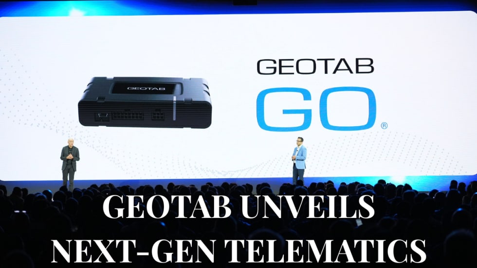
Geotab Launches Next-Gen GO Devices to Strengthen Oversight and Data Security
Next-generation telematics platform promises stronger diagnostics, asset tracking, and actionable insights.
Read More →Ford Pro Telematics Introduces In-App Asset Tracking
Ford Pro Telematics expands its abilities.
Read More →
Distracted Driving and Samsara AI Safety
The U.S. public sector continues to use AI technology to combat the dangers of distracted driving.
Read More →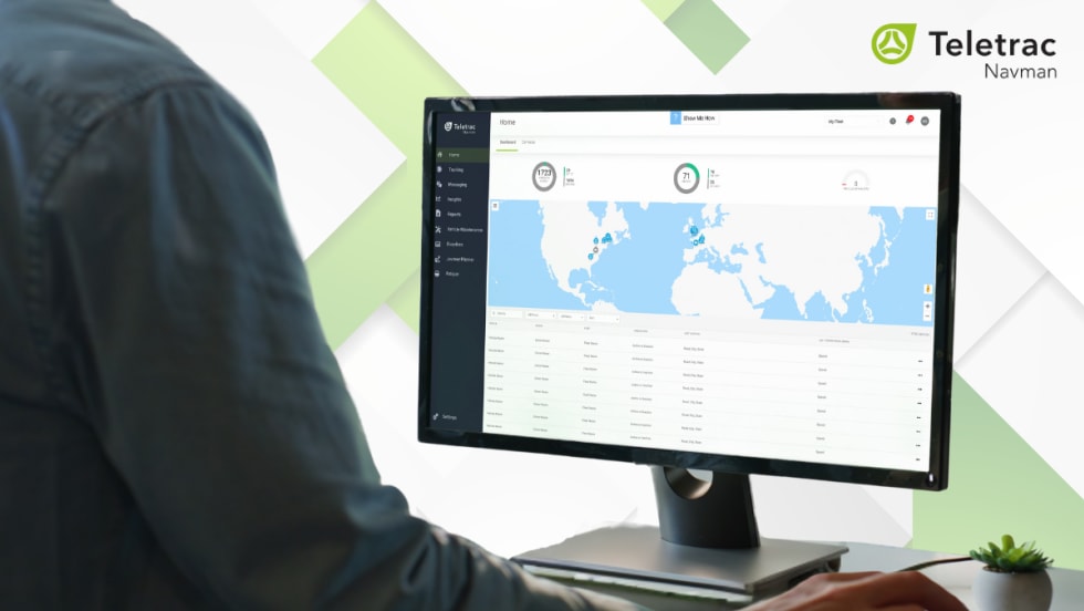
Teletrac Navman’s TN360 Now Connects with Factory-Fitted Telematics for Easier Fleet Oversight
Agencies can now tap into factory-installed vehicle data within TN360 without taking vehicles out of service for hardware installs.
Read More →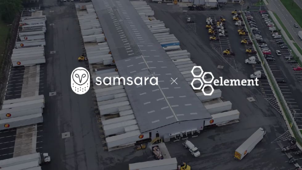
Element, Samsara Partner to Launch Comprehensive Fleet and Operations Management Offering
This joint offering streamlines procurement and onboarding for shared customers to deliver greater safety and efficiency for fleets.
Read More →
7 Ways Fleet Intelligence Can Improve Safety, Savings, and Service
Fleet intelligence technology delivers actionable insights to optimize multiple aspects of government fleet safety and service.
Read More →