

Roadnet Launches Updated Logistics Software
Roadnet Technologies has launched Roadnet Transportation Suite version 3.6.7, the latest release of its vehicle routing, scheduling, tracking, mobile workforce, and fleet management software.
Roadnet Technologies, the Omnitracs company specializing in transportation logistics software, has launched Roadnet Transportation Suite version 3.6.7, the latest release of its widely-used vehicle routing, scheduling, tracking, mobile workforce, and fleet management software engineered to significantly enhance the overall efficiencies for transportation fleet owners, dispatchers, and operators.
The third update of the Roadnet Transportation Suite unveiled this year introduces enhancements that include real-time fleet management features, satellite map overlays, and improved mobile device integration.
The full list of features in the latest version includes:
Mobile Driver Feedback – First of its kind to integrate real-time feedback directed at the drivers to let them know if they are on plan with their routes. Drivers can see one of two display options: Completed Stops vs. Expected and Projected Route Complete vs. Plan and a My Stats page, which provides details on route time, missed time windows, late arrivals, stops, breaks, service time, distance, delivery, and pick up counts.
Second Screen Support – Easily share information to a second mobile device regarding a route; ideal for deliveries in metropolitan areas where a helper may take some of the stops to deliver as a walker.
Picture Scanning – Scan using a mobile device camera as an alternative to using a rugged scanning device. Great for low quantity of scans at a stop to ensure that the correct product is being delivered or to confirm the right product is on the truck at the beginning of the day.
Delivery Receipt Printing – Leave a printed paper receipt, email receipt, or both, of what was delivered. Easily modifiable to provide a customized experience.
Satellite Map Overlays – Use satellite views to get more information on where a customer is actually located for better geocoding and to see exactly where exceptions occurred and what factors may have caused or contributed to it.
Support for Flexible Layovers – Dynamically create layovers that meet your minimum and maximum work rules while maximizing customer service and consistency for customers on multi-day routes.
Intelligent Break Identification without Driver Interaction – When drivers are not using the MobileCast proof of delivery application, breaks are now automatically identified using GPS positioning and time-based rules to automatically identify where breaks have occurred in real time to keep ETAs accurate throughout the day.
KPI Summary View – Quickly put summarized KPI information in one spot so that you can more effectively manage information on a day-to-day basis.
Enhancements to adapt to more and changing loading strategies, as well as put more information in the screen so loaders can make better decisions.
Each of these new improvements enables transportation and logistics organizations to make their operations more efficient while also providing a higher level of analysis and customer service, ultimately improving overall return on investment.
“RTS v3.6.7 shows our continued vision of creating the most valuable software tools that address key areas within the transportation logistics chain,” explained Kevin Haugh, general manager. “The Roadnet Transportation Suite has successfully enabled transportation fleet owners to achieve greater efficiencies and cost-savings across multiple industries, and our research and development team continues to address emerging issues that fleet and mobile resources face on a day-to-day basis.”
More Telematics

Connecticut Renews Fleet Telematics Agreement, Adds Automation Tools
Connecticut is expanding the use of automation within its fleet operations as part of a renewed telematics agreement. The new tools are designed to reduce manual reporting, streamline compliance tasks, and support management of the state's more than 3,600 vehicles.
Read More →
Tennessee DOT Selects Geotab as Fleet Telematics Provider
As state transportation agencies continue to expand their use of connected vehicle technologies, the Tennessee Department of Transportation is moving forward with a new telematics deployment. The initiative is expected to provide greater insight into fleet activity, asset utilization, and maintenance operations.
Read More →
City of Temple Enhances Fleet Operations with New Telematics Technology
The City of Temple is deploying a new Geotab telematics system across multiple municipal departments to improve fleet maintenance, safety monitoring and operational efficiency.
Read More →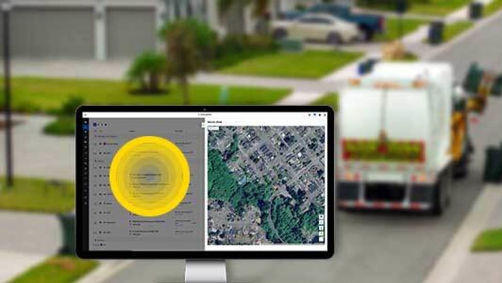
3 Ways Fleet Tech Builds Public Trust
Managing a state or local fleet comes with levels of accountability private companies don’t have. Read how modern fleet technology helps elevate visibility and safety to strengthen community trust.
Read More →
Geotab Launches Next-Gen GO Devices to Strengthen Oversight and Data Security
Next-generation telematics platform promises stronger diagnostics, asset tracking, and actionable insights.
Read More →Ford Pro Telematics Introduces In-App Asset Tracking
Ford Pro Telematics expands its abilities.
Read More →
Distracted Driving and Samsara AI Safety
The U.S. public sector continues to use AI technology to combat the dangers of distracted driving.
Read More →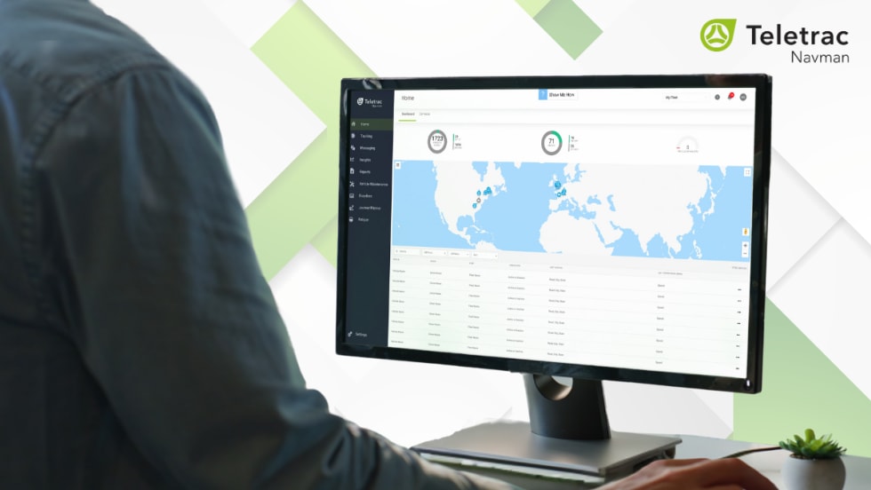
Teletrac Navman’s TN360 Now Connects with Factory-Fitted Telematics for Easier Fleet Oversight
Agencies can now tap into factory-installed vehicle data within TN360 without taking vehicles out of service for hardware installs.
Read More →
Element, Samsara Partner to Launch Comprehensive Fleet and Operations Management Offering
This joint offering streamlines procurement and onboarding for shared customers to deliver greater safety and efficiency for fleets.
Read More →
7 Ways Fleet Intelligence Can Improve Safety, Savings, and Service
Fleet intelligence technology delivers actionable insights to optimize multiple aspects of government fleet safety and service.
Read More →