

York County Natural Gas Selects GTG to Implement New GIS Software Solutions
LONGVIEW, TEXAS – Geographic Technologies Group, Inc. (GTG) announced today that York County, South Carolina Natural Gas has upgraded LGviewer to Community Connect.
LONGVIEW, TEXAS – Geographic Technologies Group, Inc. (GTG) announced today that York County, South Carolina Natural Gas has upgraded LGviewer to Community Connect, according to www.geotg.com.
LGviewer provides a set of GIS tools in a simple to use desktop application. LGviewer allows for visualization of land management information. The LGviewer software is designed to leverage database data along with existing GIS data to provide tools for visualization and analysis.
LGcommunity connect is a GIS software solution that allows both HTE Land and Public Safety users to integrate AVL with LG software. The software tracks GPS-enabled vehicles to be tracked via the GIS interface. It takes GPS data from vehicles and places a moving map symbol on the GIS map interface that corresponds to the vehicles location in the real world. Historical AVL information is maintained with the product.
James Kelt, regional manager for GTG, stated that, “Automatic Vehicle Location (AVL) has traditionally been used in the Public Safety arena for Police, Fire and EMS mapping. Over the past year, we have seen more agencies leverage GPS technology in other scenarios. For York County Natural Gas, it made perfect sense to leverage GPS technology for use within LGviewer to show locations of their in the field fleet. LG Community Connect accomplishes the task of accurately and efficiently populating real time vehicle locations within the LG product line. By knowing where the vehicles are located as well as information about each vehicle, York County administrators can now allocate resources to specific areas to better serve their customers. This inexpensive module to LGviewer, ultimately keeps client satisfaction high and operational costs low.”
More Telematics
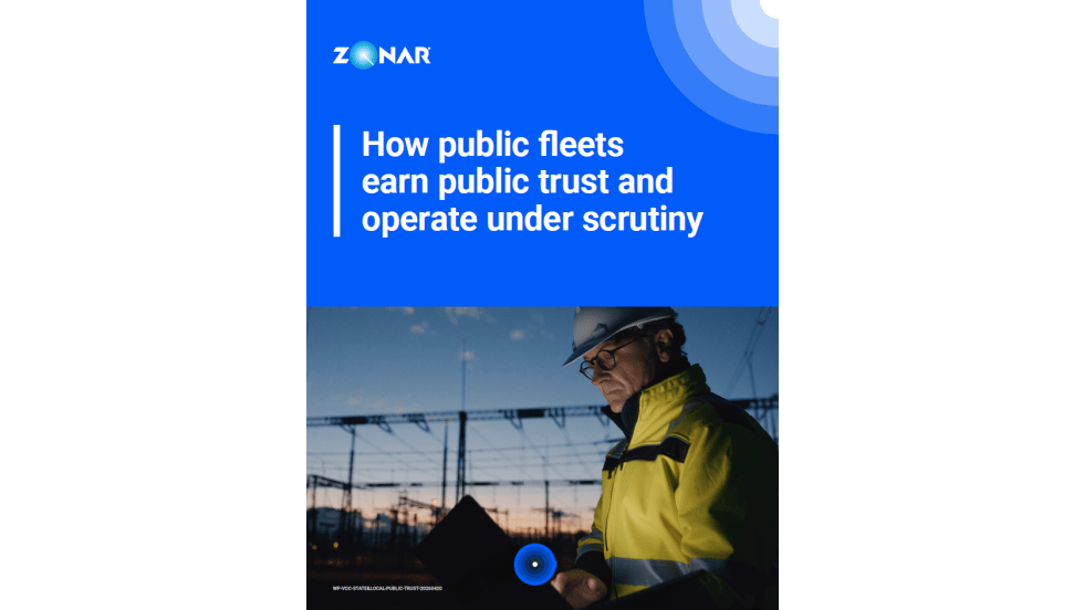
How Public Fleets Earn Public Trust and Operate Under Scrutiny
Taxpayers judge public services by what they can see. Learn how state and local government fleets are using data and transparency to demonstrate reliability, strengthen accountability, and build public confidence in every mile driven.
Read More →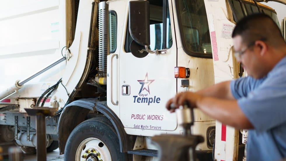
City of Temple Enhances Fleet Operations with New Telematics Technology
The City of Temple is deploying a new Geotab telematics system across multiple municipal departments to improve fleet maintenance, safety monitoring and operational efficiency.
Read More →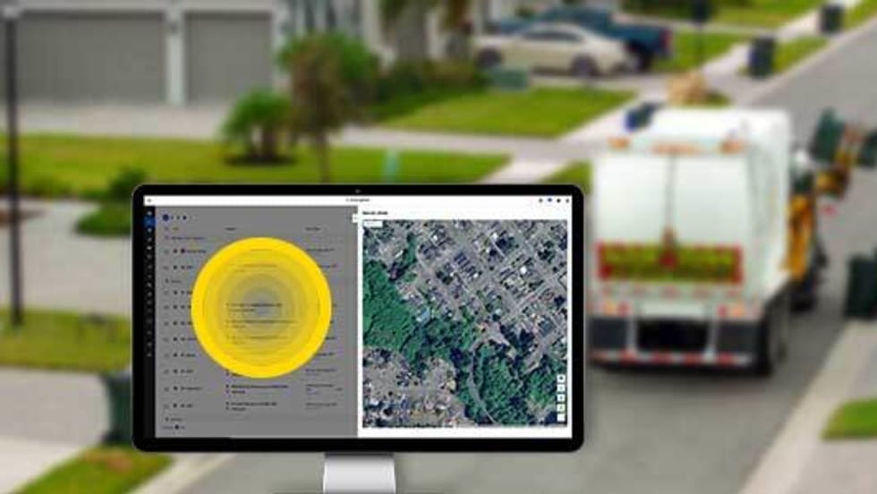
3 Ways Fleet Tech Builds Public Trust
Managing a state or local fleet comes with levels of accountability private companies don’t have. Read how modern fleet technology helps elevate visibility and safety to strengthen community trust.
Read More →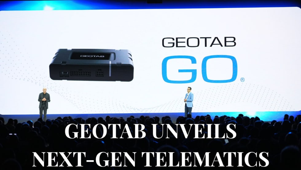
Geotab Launches Next-Gen GO Devices to Strengthen Oversight and Data Security
Next-generation telematics platform promises stronger diagnostics, asset tracking, and actionable insights.
Read More →Ford Pro Telematics Introduces In-App Asset Tracking
Ford Pro Telematics expands its abilities.
Read More →
Distracted Driving and Samsara AI Safety
The U.S. public sector continues to use AI technology to combat the dangers of distracted driving.
Read More →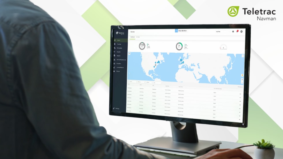
Teletrac Navman’s TN360 Now Connects with Factory-Fitted Telematics for Easier Fleet Oversight
Agencies can now tap into factory-installed vehicle data within TN360 without taking vehicles out of service for hardware installs.
Read More →
Element, Samsara Partner to Launch Comprehensive Fleet and Operations Management Offering
This joint offering streamlines procurement and onboarding for shared customers to deliver greater safety and efficiency for fleets.
Read More →
7 Ways Fleet Intelligence Can Improve Safety, Savings, and Service
Fleet intelligence technology delivers actionable insights to optimize multiple aspects of government fleet safety and service.
Read More →
How a South Carolina Fleet is Using Telematics to Improve Safety, Traffic, and Efficiency
Charleston County, South Carolina, has partnered with Geotab to bolster fleet operations through a telematics program.
Read More →